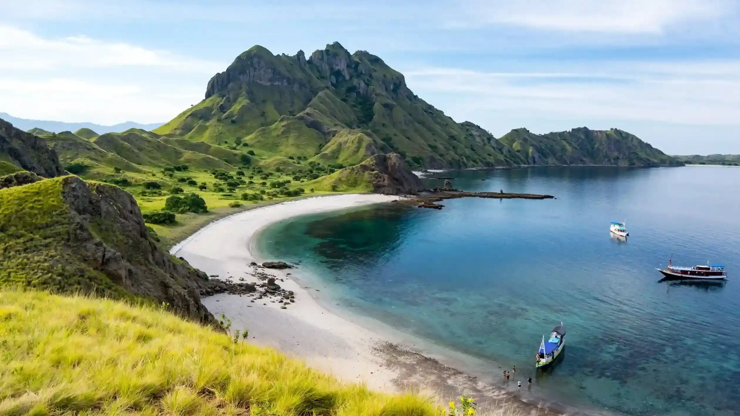

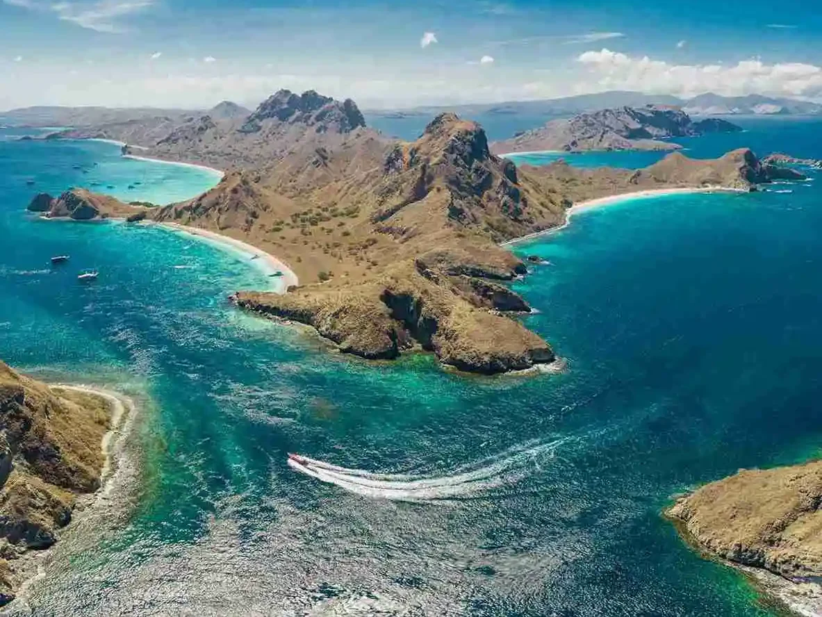
White sand beach on Padar Island with tour boats anchored offshore and a mountain backdrop
Photo: Bagus Dwi Ananda on Unsplash.

Padar Island History, Name & Geology

Quick answer: Padar Island is a volcanic island in the Sunda–Banda arc, with exposed rock dated to roughly 3.2 million years old — the oldest of Komodo National Park’s main islands. The park itself traces back to a 1928 wildlife sanctuary, became a national park in 1980, and was inscribed as a UNESCO World Heritage Site in 1991. The origin of the name “Padar” itself is not clearly documented in any credible source, and claims of a specific meaning should be treated as folklore rather than fact.

Padar Island Editorial Desk · Last updated August 2026

Where does the name “Padar” come from?

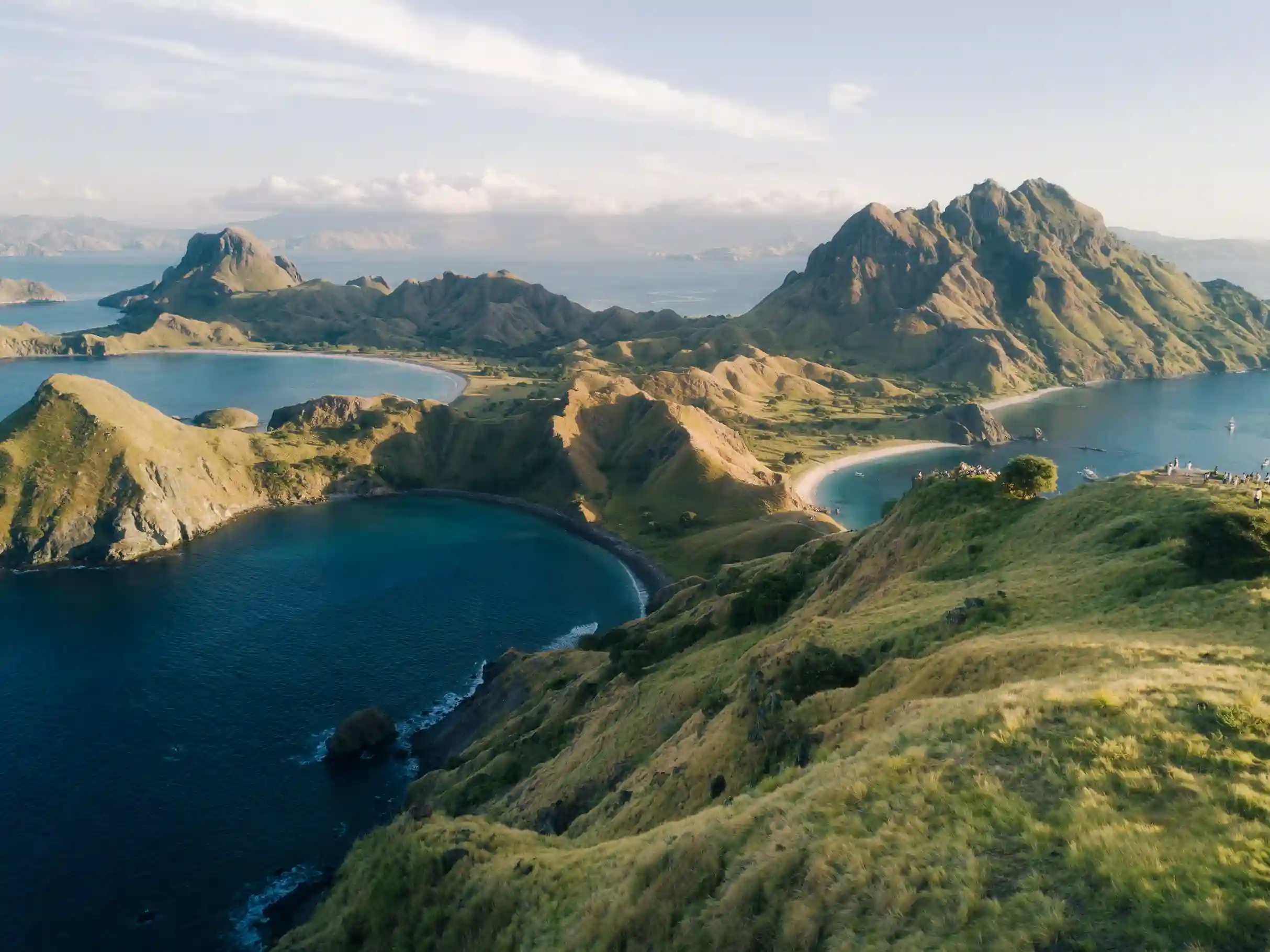
Padar Island's hills and bays seen from the rocky viewpoint at the top of the hiking trail, with hikers on the path below
Padar’s hills and bays seen from the rocky viewpoint at the top of the hiking trail. Photo by Rashel O on Unsplash.

Honestly: nobody has a well-documented answer. There is no authoritative etymology for “Padar” in park records, UNESCO documentation, or academic sources on the region. Tourism websites occasionally offer confident-sounding translations — claims that the name means “three bays,” “split island,” or similar — but none of these are backed by credible linguistic or historical research, and we’re not going to repeat them here as fact. The most defensible statement is that Padar is a toponym whose original meaning, in Manggarai, Bajo, or an earlier local language, has not been documented in accessible sources and may simply be lost to record. If you encounter a confident “the name means X” claim elsewhere, treat it as unverified folklore rather than established fact.

Was Padar Island ever permanently inhabited?
This is another area where the honest answer is “probably not, in the way some accounts suggest.” Official descriptions of Komodo National Park list recognized settlements on Komodo, Rinca, Kerora, and Papagaran — islands with villages that predate the park’s formal creation. Padar does not appear on these settlement lists. That absence doesn’t rule out small-scale or seasonal use of the island by fishers, but it does mean there’s no strong documentary basis for stories of a substantial fishing village on Padar being relocated when the national park was established.
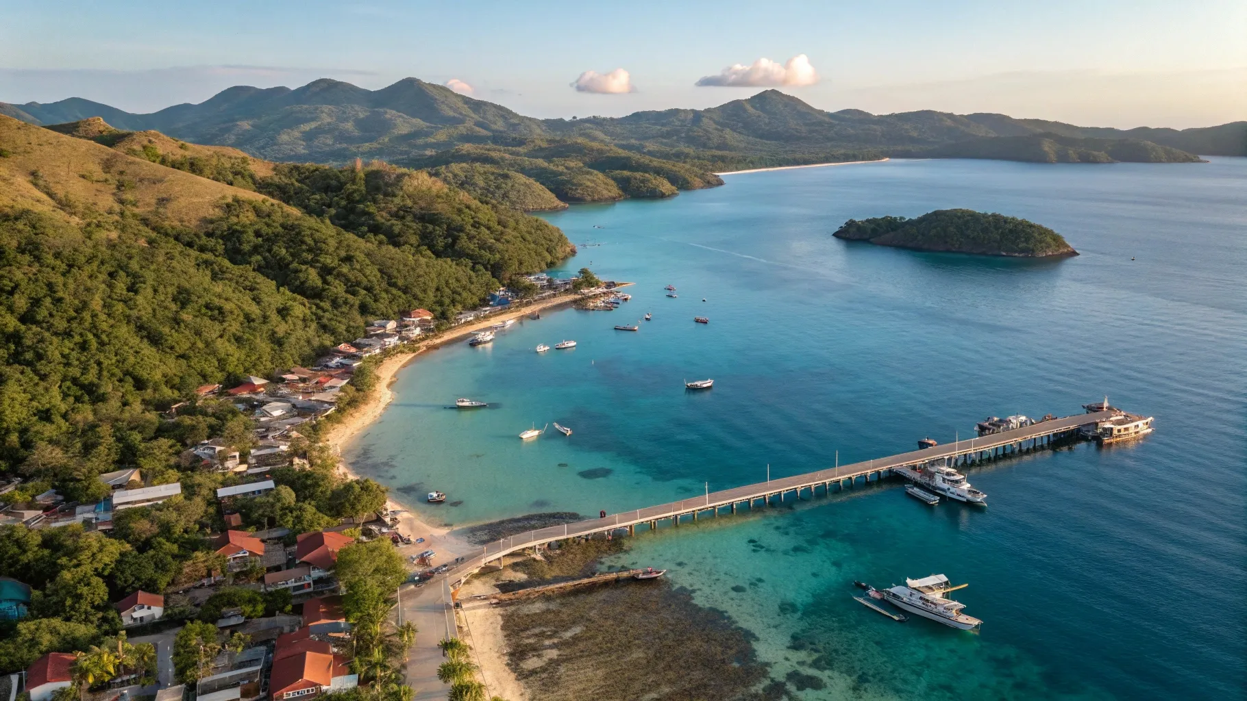
Given Padar’s steep terrain and limited fresh water, the more defensible picture is seasonal or small-scale fishing and resource use rather than a large permanent community. Any account describing a full village relocation from Padar specifically should be treated as thinly sourced local oral history rather than documented fact, pending clearer archival or ethnographic evidence. What is well established is that Padar is uninhabited today and has no year-round residents, ranger housing aside.

How was Padar Island formed geologically?

Brown savanna grassland on the summit of Padar Island lit by dry-season sun
Dry-season savanna grass covering Padar’s volcanic hill terrain. Photo by Fajruddin Mudzakkir on Unsplash.

Here the evidence is much stronger. Padar, along with Komodo and Rinca, sits on the eastern extension of the Sunda volcanic arc — sometimes described as the transitional Sunda–Banda arc — created by the Australian tectonic plate subducting beneath the Eurasian (Sunda) plate along the Lesser Sunda Islands chain. This is the same broad tectonic process responsible for Indonesia’s wider “Ring of Fire” volcanism.

The islands’ bedrock is predominantly andesitic-to-basaltic volcanic and volcaniclastic rock — lava flows, breccias, and tuffs — laid down in two broad phases: an Early Miocene marine volcanic sequence roughly 23–16 million years old, and a more voluminous Late Miocene-to-Pliocene “island-building” phase roughly 11–2.6 million years ago that constructed much of the islands’ present bulk. Padar’s own oldest exposed rock has been dated to approximately 3.2 million years, making it the oldest of the park’s main islands by exposed geology.

Padar’s distinctive knife-edge ridgelines and multiple separate bays are a direct product of this volcanic history: alternating layers of harder lava and softer volcanic ash erode at different rates, and structural faulting in the rock further carves the island into the folded, compartmentalized shape visible from the summit. This is also the direct geological reason the island has three separate, geologically distinct bays rather than one continuous coastline — covered in more visual detail in our Padar Island beaches guide.

When did Komodo National Park become protected, and when was it UNESCO-listed?

Stylised illustration of a tropical island cluster with dashed route lines (illustration, not an official map)
Illustrative orientation map of the island cluster that makes up Komodo National Park. Not an official document or photo.

This timeline is well documented and consistent across sources:

  • 1928: The Dutch colonial administration establishes a wildlife sanctuary on Komodo Island to protect the newly documented Komodo dragon.
  • 1938: That sanctuary is expanded to include Rinca and the smaller islands of Padar, Gili Motang, and Nusa Kode — the first time Padar enters the formal protection record.
  • 1977: The area is recognized as a UNESCO Man and the Biosphere Reserve, a step ahead of full national park status.
  • 6 March 1980: The Indonesian government formally establishes Komodo National Park (Taman Nasional Komodo) by ministerial decree, initially covering roughly 72,000 hectares.
  • 1984: The park’s area is extended to approximately 219,322 hectares, including surrounding marine areas and adjacent sections of Flores.
  • 1991: Komodo National Park is inscribed on the UNESCO World Heritage List (Site ID 609), under natural criteria (vii) for exceptional natural beauty and (x) for biodiversity significance.

Padar Island’s protected status today comes from being part of this park, not from any separate designation of its own — everything from the entrance ticketing system to the ban on overnight camping (covered in our Padar Island camping rules guide) flows from this national park and World Heritage framework.

Protection timeline at a glance

YearMilestone
1928Wildlife sanctuary established on Komodo Island
1938Sanctuary expanded to include Rinca, Padar, Gili Motang, Nusa Kode
1977Recognized as a UNESCO Man and the Biosphere Reserve
1980Formally established as Komodo National Park (~72,000 ha)
1984Park area extended to ~219,322 ha, including marine zones
1991Inscribed on the UNESCO World Heritage List (Site ID 609)

These are three related but distinct designations, and travel writing sometimes blurs them together. A Biosphere Reserve is a UNESCO designation focused on balancing conservation with sustainable local use; a national park is a domestic Indonesian legal protection status with its own management authority and ticketing system; and a World Heritage Site is a separate UNESCO recognition of outstanding universal natural or cultural value. Komodo National Park holds all three labels layered on top of each other, which is part of why its management — including the rules that affect a Padar visit — draws on more than one regulatory framework at once.

What does the surrounding seafloor add to the picture?

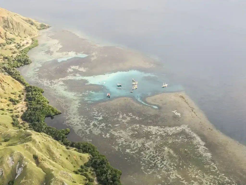
Padar’s geology doesn’t stop at the waterline. The straits between Padar, Komodo, and Rinca sit at a marine confluence where strong tidal currents from the Indian Ocean and the Flores Sea meet, driving the nutrient-rich, fast-moving water that makes the wider park such a significant marine biodiversity site — a large part of why the 1991 UNESCO inscription cited criterion (x), biodiversity significance, alongside the scenic criterion (vii). The same currents that make diving and snorkeling around the park notable also shape the coral growth that feeds Padar’s white and pink sand bays over time, tying the island’s marine setting directly back to the beach-color explanation covered in our beaches guide.

Why doesn’t Padar have Komodo dragons like the park’s namesake islands?

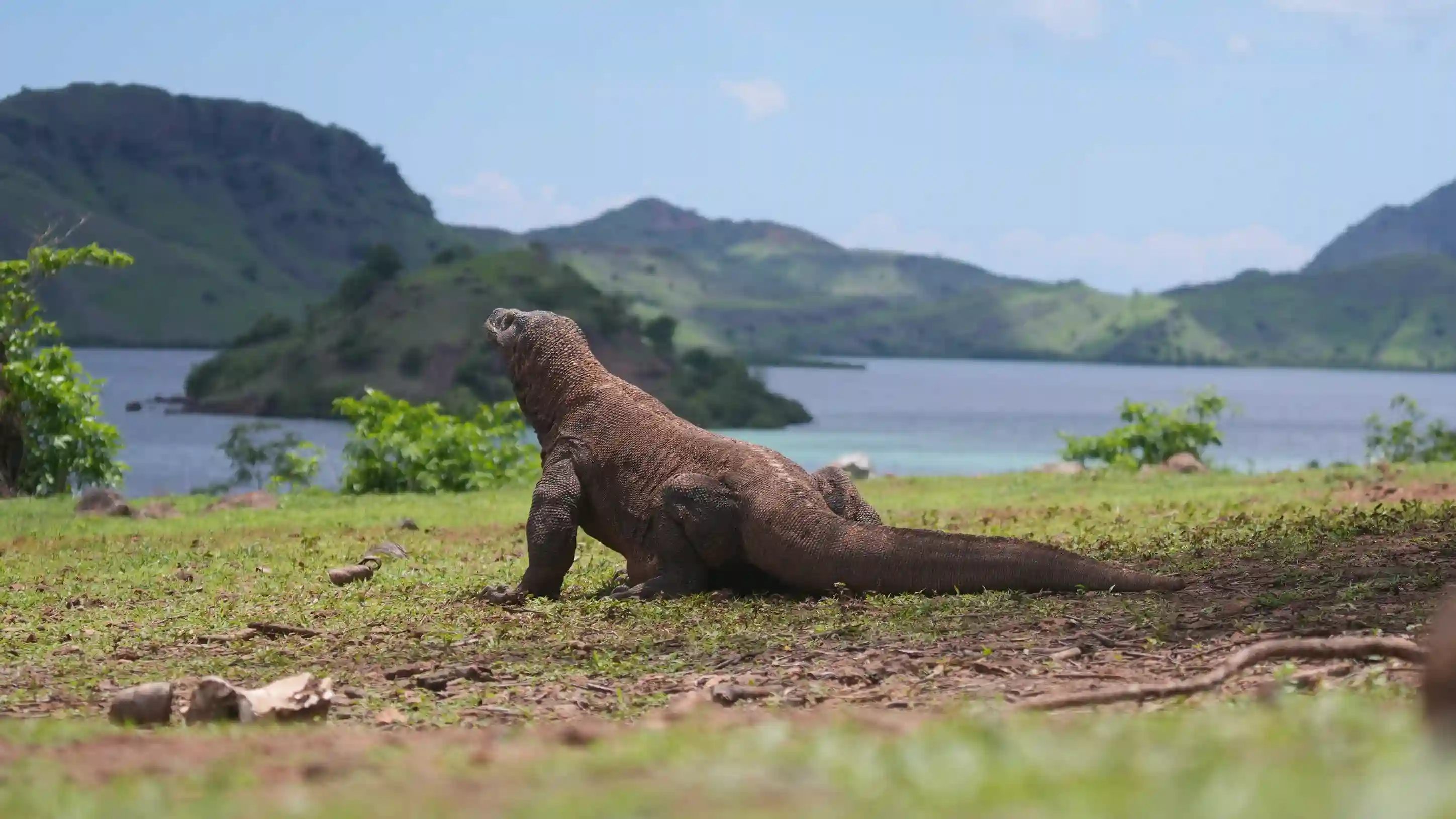
Padar did have a population of Komodo dragons at one point — conservation assessments place the island’s dragon population as extinct since roughly 1975, with the decline attributed primarily to overhunting of the deer and other prey species dragons depend on, rather than any natural habitat failure. Today the park’s substantial dragon populations are on Komodo Island, Rinca Island, and smaller pockets on Gili Motang and Nusa Kode. Padar was long assumed to have lost its dragons altogether, but a 2004 Komodo Survival Program survey recorded at least a dozen individuals there, including a hatchling — evidence of a small, persisting population rather than local extinction. It is still not a dragon-viewing destination and should never be marketed as one.

How does Padar’s geology compare to Komodo and Rinca Island?

Illustration of three icon cards side by side themed mountain, beach and Komodo dragon, representing a destination comparison
Illustrative comparison graphic representing the park’s three main islands and their different draws — mountains, beaches, and Komodo dragons. Not an official document or photo.

All three of the park’s main islands share the same volcanic arc origin and broadly similar andesitic-basaltic bedrock, but Padar is geologically the oldest of the three by exposed rock age, and its terrain is notably more compact and vertically dramatic relative to its size — the three-bay panorama from a single summit is not replicated at the same scale on Komodo or Rinca, where the terrain spreads wider and lower. Komodo and Rinca, being larger, also retain surface water and vegetation patterns that support the dragon population and larger ungulate prey base that Padar lost. For a fuller side-by-side comparison of what each island actually offers a visitor, see our Padar Island comparison guide.

How does this history affect the rules you’ll encounter today?

Padar’s status as part of a UNESCO World Heritage Site and national park directly explains most of the practical rules visitors run into: the entrance ticketing and quota system, the prohibition on overnight camping, restrictions on drone use, and rules against removing sand, coral, or shells. None of these are arbitrary tourism-management choices — they trace directly back to the conservation designation this history section covers. For current environmental and community commitments tied to this status, see our sustainability page.

Frequently asked questions

What does the name “Padar” mean?

There is no well-documented etymology for “Padar” in credible linguistic or historical sources. Specific translations offered by some tourism sites are unverified and should be treated as folklore rather than established fact.

Was there ever a village on Padar Island?

There is no strong documentary evidence of a large permanent village on Padar comparable to those on Komodo or Rinca Island. Small-scale or seasonal fishing use is plausible, but accounts of a full village being relocated for the national park’s creation are thinly sourced.

How old is Padar Island geologically?

Padar’s oldest exposed rock has been dated to approximately 3.2 million years, making it the oldest of Komodo National Park’s main islands by exposed geology, within a broader volcanic sequence spanning roughly 23 million to 2.6 million years ago.

When did Komodo National Park become a UNESCO World Heritage Site?

1991, under natural criteria (vii) and (x), following national park establishment in 1980 and earlier wildlife-sanctuary protection dating back to 1928.

Are there still Komodo dragons on Padar Island?

Yes, but only a very small, sparse population that visitors effectively never see. Historical overhunting of prey species pushed Padar’s dragons so low that the island was assumed to be empty, until a 2004 Komodo Survival Program survey recorded at least a dozen individuals, including a hatchling. The park’s large, visible populations remain on Komodo Island, Rinca Island, Gili Motang and Nusa Kode.

Why the uncertainty matters

It would be easy to fill in the gaps in Padar’s name origin and habitation history with a tidy, confident-sounding story — plenty of travel content does exactly that. We’d rather state clearly what is well documented (the geology, the protection timeline, the dragon extinction) and what isn’t (the name’s meaning, the exact habitation record) than manufacture certainty the sources don’t actually support. If credible archival or linguistic research on either open question surfaces, this page will be updated to reflect it.

See the geology in person

The hills of Padar Island surrounding the calm water of the bay
Padar’s hills surrounding calm bay water, viewable from the summit trail. Photo by Fiqih Alfarish on Unsplash.

Understanding Padar’s volcanic layering and three-bay structure is one thing; seeing the folded ridgelines and rock stratification from the summit trail is another. Komodo Luxury’s Komodo boat trip packages include the Padar summit hike as a core stop, and their Komodo liveaboard option allows a slower, multi-day route that also takes in Komodo and Rinca Island for a direct geological and wildlife comparison across all three main islands in a single trip.


What the rock is, and how long it took

Padar sits inside the Sunda–Banda volcanic arc, formed where the Indo-Australian Plate subducts beneath the Eurasian margin. Almost all its exposed rock is volcanic in origin — old lava flows, ash deposits and related material — and it has been dated to roughly 3.2 million years, older than the rock of the park’s other main islands. That extra time is precisely why Padar looks the way it does: erosion has had longer to work.

The tectonic setting produced intense folding, faulting and uplift, and then weathering dissected the result. Stacked layers of differing hardness are visible from the trail: softer bands erode into scree fans while harder layers stand out as ribs and pinnacles. Runoff channels cut the deep gullies, waves exploited weaknesses along the coast, and what survives is a set of asymmetric ridges radiating between the three bays, with narrow necks of land and dramatic headlands between them. Nearer the shore, wave-cut notches and low cliffs show the coastline still being reshaped. Photographers use those lines of rock to frame the contrast between dry hill and sheltered beach.

For a visitor the practical consequences are underfoot. The terrain is steep and rugged, dry grassland with scattered shrubs over exposed rock, with ridges rising sharply from sea level. Loose scree and crumbly surfaces are common, and steps are uneven, so sturdy footwear helps more than technical hiking gear — and everything is more slippery after rain. Padar is not an active volcano and there is no crater to visit, though the wider region is seismically dynamic and park authorities monitor geological risk at a regional scale.

The trail is also almost entirely exposed. There is no forest canopy, only a few small shelters and rest points along the staircase, and sun plus reflected heat dominate the route. In practice that means water, a hat, sun protection, and a preference for the early-morning or late-afternoon session if heat affects you.

The human history is thinner than the stories suggest

There is no documented discovery date for Padar, because the island sits along sailing routes that local seafarers and fishers in what is now East Nusa Tenggara used long before European mapping. Modern charts and scientific surveys arrived much later, so the earliest record is oral rather than archival. Written history effectively begins with national park planning in the late twentieth century; before that, the island saw sporadic anchorage and resource use without permanent towns.

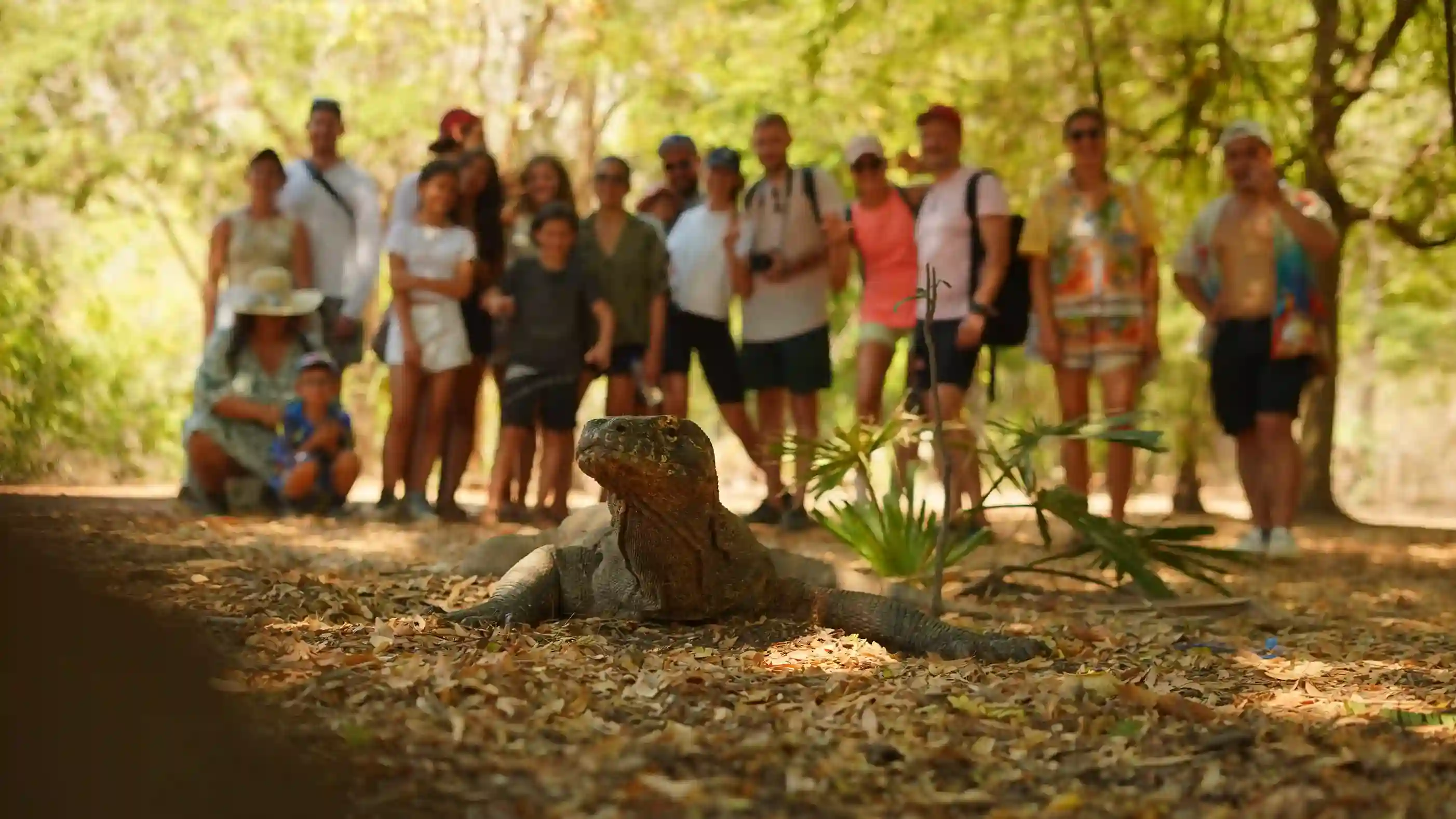
Padar has no permanent residents today, and it appears never to have had a substantial settlement. Historical references and local accounts suggest intermittent use by small fishing and seasonal groups, with occasional remains of temporary shelters near sheltered coves — practical rather than large-scale occupation, constrained by the absence of fresh water and arable land, which encourages only short stays. Guides sometimes point out where old villages are said to have stood, usually in the more sheltered coves where landing a boat and reaching limited resources was easiest. Those references add useful context to an otherwise stark landscape, though the cultural footprint is subtle.

Through much of the twentieth century, small-scale fishing around Padar formed part of wider subsistence and market networks across Komodo and Flores, with traditional crews working reef and pelagic species from wooden boats using simple gear. After the national park was created and conservation rules tightened, fishing pressure shifted away from the core zones, which is why the bays now hold tourism boats rather than working fleets.

The name is the part where honesty matters most. No reliable linguistic or historical study has established what “Padar” means. Various explanations circulate locally, linking it to words in regional languages or to particular historical figures, and none is backed by robust documentation; linguists have reached no consensus on an Austronesian root. Early European charts of eastern Indonesia varied spellings and often omitted smaller islands, and modern park and government documents simply inherit the existing toponym without explanation. The naming moment is effectively undocumented. You will hear different versions from boat crews and guides — interesting as cultural colour, not as settled history, and worth enjoying on those terms.

How Padar became a protected place

Komodo National Park was established in 1980, with protection initially centred on Komodo dragons and the surrounding marine life. Padar’s inclusion broadened the goal to preserving an intact island-and-seascape system, and its distinctive landforms and marine habitats became part of a unified protected area. Its position between Komodo and Rinca also made it a natural stop on patrol routes and scientific surveys, and later on regulated tourist circuits.

UNESCO inscribed the park as a World Heritage Site in 1991, recognising both natural beauty and the ongoing evolutionary and ecological processes at work. That listing is the framework that now shapes every visit: quotas, guided access, restricted activity. Padar’s historical significance, in other words, is mostly a conservation story rather than a settlement one — its human narrative shifted in the space of a few decades from subsistence use and regional shipping to regulated tourism, scientific monitoring and enforcement.

One term worth understanding while you are here. PNBP stands for Penerimaan Negara Bukan Pajak, Indonesia’s category of non-tax state revenue, and the park’s entrance fee schedule is set as a PNBP tariff under PP No. 36 Tahun 2024. For a visitor it simply means the ticket is an official government charge, earmarked in part for park management and conservation, rather than a private admission price.

Academic work on Padar’s geology continues within this framework, examining volcanic deposits, structural deformation and erosion patterns to understand how islands are built in eastern Indonesia. The papers are technical; the takeaway for anyone climbing the staircase is simpler. You are walking across layers of lava-derived rock that have been stripped, cracked and reshaped by climate and gravity for three million years, and the shape of the view at the top is the record of that.

Padar, Komodo or Rinca

The three answer different questions, so preference rather than quality decides it. Padar gives the hilltop panorama and a short, steep climb on an uninhabited island. Rinca focuses on Komodo dragons across low savannah, on gentler ground. Komodo is better known for dragons in their original habitat and for longer, more varied treks. Most boat itineraries include at least two of them, and if you have to choose one, choose Padar for scenery and Rinca or Komodo for close wildlife viewing.

Booking the trip itself

This site documents Padar Island; it does not sell tours. Bookings for the boats and packages described above are handled by Komodo Luxury, the operator within the same group as this publication.

Questions about a specific date or vessel go to WhatsApp +62 811-3823-875 or sales@komodoluxury.com.

This guide does not operate boats. Bookings are fulfilled by Komodo Luxury, and this site may earn a referral commission.

Scroll to Top
Book with Komodo Luxury →
💬

Additional photo credits on this page: Rashel O, Fajruddin Mudzakkir, Fiqih Alfarish, Bagus Dwi Ananda on Unsplash.