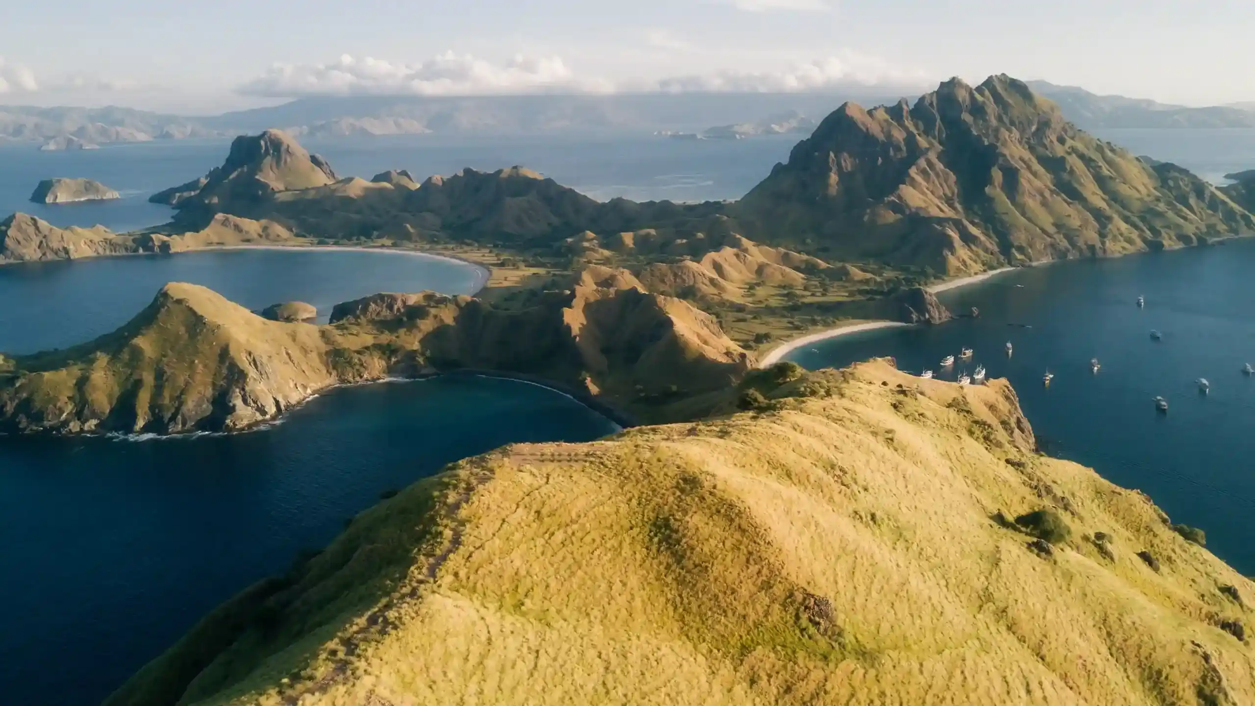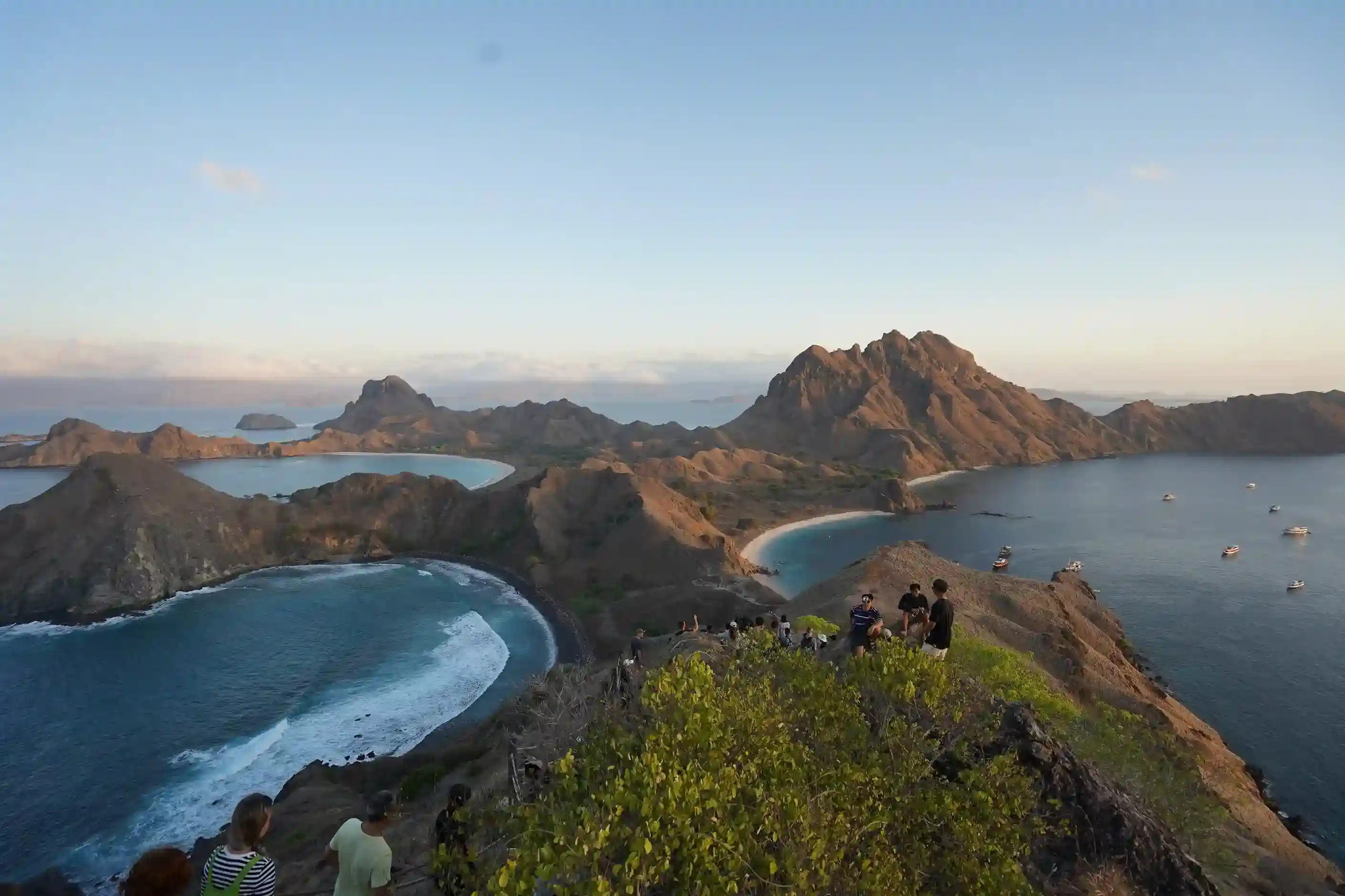

Golden hour light over savanna ridgeline hills and a bay in Komodo National Park
Photo: Alex Lvrs on Unsplash.

Padar Island Weather, Seas & Currents

Short answer: Padar Island’s climate follows a two-season monsoon pattern typical of East Nusa Tenggara: a dry season roughly April through November with calmer seas and clearer views, and a wetter season roughly December through March with more rain and rougher, less predictable crossings. A less obvious detail most guides skip: July–August, while technically dry, is also the strongest-wind stretch of the year in the Flores Sea, which can produce choppier boat rides despite blue skies — the “best” and “calmest” months for Padar Island are not always the same months.

Last updated: August 2026. Sea conditions can change quickly and locally around Komodo National Park’s channels; always confirm the day’s forecast and any advisories with your boat operator before departure, especially outside the core dry-season months.

Padar Island’s two seasons at a glance

Padar Island / Komodo National Park seasonal overview
SeasonApprox. monthsTypical conditions
Dry seasonApril–NovemberLower rainfall, generally calmer seas, better visibility for the viewpoint and for snorkeling; hills turn gold-brown
Wet seasonDecember–MarchHigher rainfall, rougher and less predictable seas, occasional boat delays or cancellations; brief green flush on the hills in the transition months
Strong-wind window (within dry season)Roughly July–AugustPeak monsoon winds despite dry, sunny weather — can mean choppier crossings and stronger currents around exposed channels
Monsoon transitionJanuary–FebruaryPart of the wet season; historically one of the roughest windows for sailing routes in the region
Golden morning light over the hills of Komodo National Park
Golden morning light over the hills of Komodo National Park in the dry season. Photo: Alex Lvrs/Unsplash.

What does “dry season” actually mean for a Padar Island trip?
In practical terms, dry season means a lower chance your boat departure gets rescheduled or cancelled for weather, clearer horizon-to-horizon visibility from the viewpoint (worth a lot on a trip built around one photograph), and drier, less slippery footing on the hike’s natural rock sections. It does not mean flat, windless seas every single day — especially in July and August, when the Australian dry-season monsoon pushes stronger, more consistent winds across the Flores Sea. Many travellers assume “dry” automatically means “calm,” and are surprised by a bumpier-than-expected crossing in peak season.
What does “wet season” mean for boat schedules and cancellations?

December through March brings a higher likelihood of rain squalls and rougher swells that can delay or cancel a day’s boat departures, particularly on more exposed open-water legs rather than the sheltered inner channels. This doesn’t mean Padar Island is inaccessible in the wet season — many trips run normally — but it does mean your itinerary should carry more built-in flexibility (an extra buffer day, or a willingness to swap the day’s order) than a tightly scheduled dry-season day trip needs. Some liveaboard operators also adjust or shorten routes during the wettest weeks, so ask directly about weather contingency plans when booking a wet-season trip rather than assuming a fixed itinerary is guaranteed.

How do wind and current affect the boat ride specifically?

The channels around Komodo National Park, including the stretch between Labuan Bajo and Padar, are known for locally strong tidal currents where deeper and shallower water meet — a factor experienced local captains navigate around rather than something a schedule alone controls. Wind direction and strength matter more for comfort than for safety on a well-run, licensed operation: a headwind crossing in July–August can mean a bumpier, spray-soaked ride even in good visibility, while a following wind or calmer window (common in the April–June and September–November shoulder months) tends to make for a smoother trip. If seasickness is a concern, the shoulder-season months are generally the more comfortable choice over peak dry season.

A speedboat crossing wide open sea water
A speedboat crossing open water — wind and swell conditions affect how comfortable the crossing to Padar is. Photo: Hatmi/Unsplash.

Does weather affect the hike itself, not just the boat ride?

Yes, in two ways. Rain makes the trail’s natural rock sections slippery, particularly on the upper, less-paved stretches, and reduces visibility from the summit — defeating much of the point of climbing at all if cloud sits over the bay. Heat, not rain, is the more consistent year-round hazard: the trail has almost no shade regardless of season, so even a “cool,” overcast dry-season morning can still be physically demanding if you’re unprepared with water and sun protection. See our packing guide for what to bring regardless of which season you visit in.

Month-by-month planning notes

Rough seasonal planning guide — not a precise forecast
MonthsGeneral expectation
April–JuneTransitioning out of wet season; seas calming, hills still holding some green from the tail of the rains — a favourite shoulder-season window for many repeat visitors
July–AugustPeak dry season and peak tourist season simultaneously; strongest winds of the year, driest hills (gold-brown), busiest boat schedules and SIORA slots
September–NovemberDry, generally calmer than July–August, fewer crowds than peak summer — often cited as the best overall balance of conditions and crowd levels
December–MarchWet season; higher rain and swell risk, most flexible/refundable bookings recommended, occasional cancellations
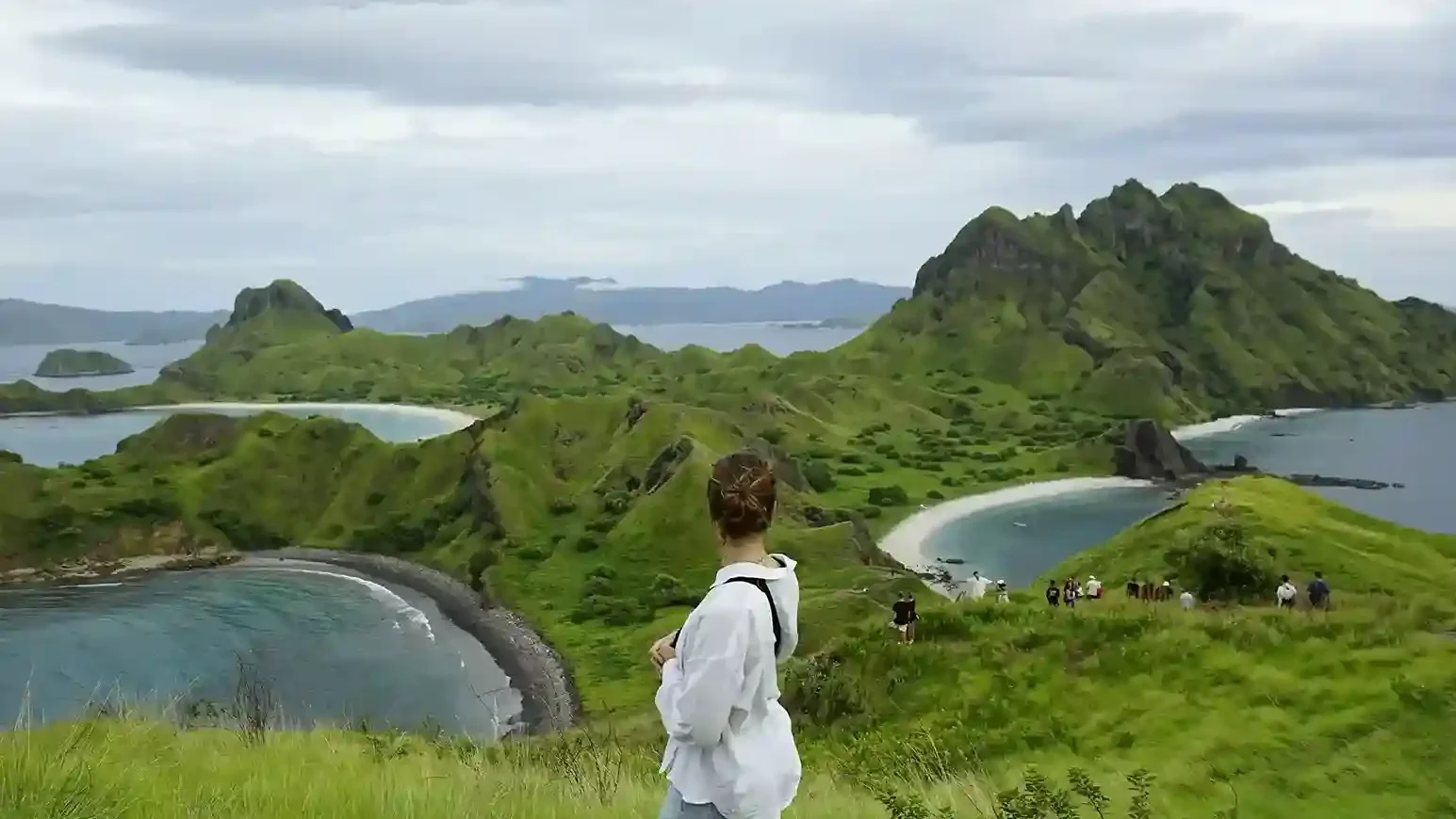
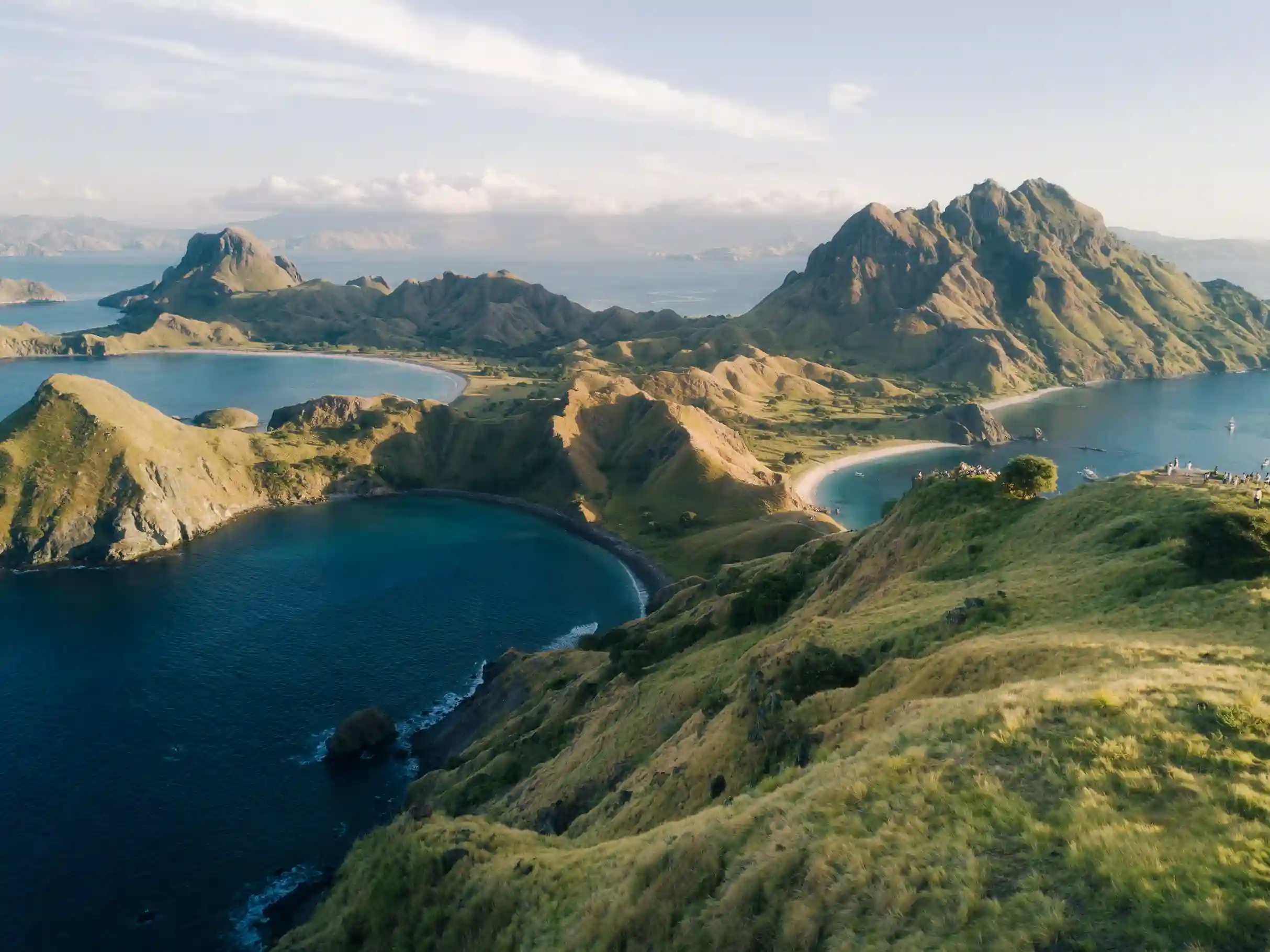
A stretch of green-gold grass hills on Padar Island with a bay visible in the distance
A stretch of green-gold grass hills on Padar with a bay visible in the distance, the hill colour shifting between seasons. Photo: Fajruddin Mudzakkir/Unsplash.

Frequently Asked Questions

What is the best month to visit Padar Island for calm seas?

September–November and April–June are generally the more comfortable shoulder-season windows — dry enough for good visibility and drier trails, without the strongest winds that typically arrive in July–August.

Can boat trips to Padar Island be cancelled due to weather?

Yes, particularly during the December–March wet season when rain squalls and rougher seas are more common. Cancellations and reschedules are less frequent but not impossible during the dry season too, especially around strong-wind spells in July–August. Licensed operators prioritise safety over schedule, so a cancelled departure is a normal (if inconvenient) part of sailing in this region.

Is Padar Island hot? What’s the temperature like?

Yes — the climate is tropical and the trail offers almost no shade, so daytime conditions on the hike feel considerably hotter than the ambient air temperature alone would suggest. This holds true across both seasons; rain in the wet season doesn’t necessarily mean a cooler hike, just a wetter and more slippery one.

What’s the best season to visit Padar Island to avoid both rain and heavy crowds?

September through November is generally the balanced choice: the dry season is already underway so rain risk is low, while visitor numbers haven’t yet reached the July–August peak.

Does the rainy season make Padar Island impossible to visit?

Not entirely. Many trips run normally during the rainy season (December–March), but the risk of delay or cancellation from swells and rain is higher than in the dry season. It’s worth choosing an operator with a flexible reschedule policy if travelling in this period.

For timing your hike around first light specifically, see Padar Island sunrise time by month. For the full trip-planning picture, start from our Padar Island guide or the permit & quota page to check booking rules for your travel dates.

When do Padar Island’s hills turn green, and when are they golden?

Padar’s savanna hills are golden-brown for most of the year, a look that comes to define nearly every well-known photograph of the island. The brief exception falls in the tail end of the wet season and the very start of the dry season, roughly March through May, when recent rain gives the grass a short-lived green flush before the dry months fade it back to gold. Photographers chasing the “green hills” version of Padar — a genuinely different look from the classic gold-hill postcard shot — generally need to time a visit to this narrow window, and even then, the exact timing shifts year to year with how the rains behave. There is no fixed calendar date for this transition; it is a function of that year’s actual rainfall, not a guaranteed annual event on a specific week.

Humidity and rainfall: what to actually expect

East Nusa Tenggara sits in one of Indonesia’s drier climatic zones compared to Bali, Java, or Sumatra, but “drier” is relative — humidity remains high year-round given the tropical, maritime setting. During the dry season, expect long stretches with little to no rain and lower humidity than the wet months, though a still, humid midday on the exposed Padar trail can still feel intense given the total absence of shade. During the wet season, expect intermittent heavy downpours rather than constant drizzle — a common pattern is a clear morning followed by an afternoon or evening squall, which is part of why early-morning departures are the norm for boat trips regardless of season: mornings are simply the more weather-reliable part of the day most of the year.

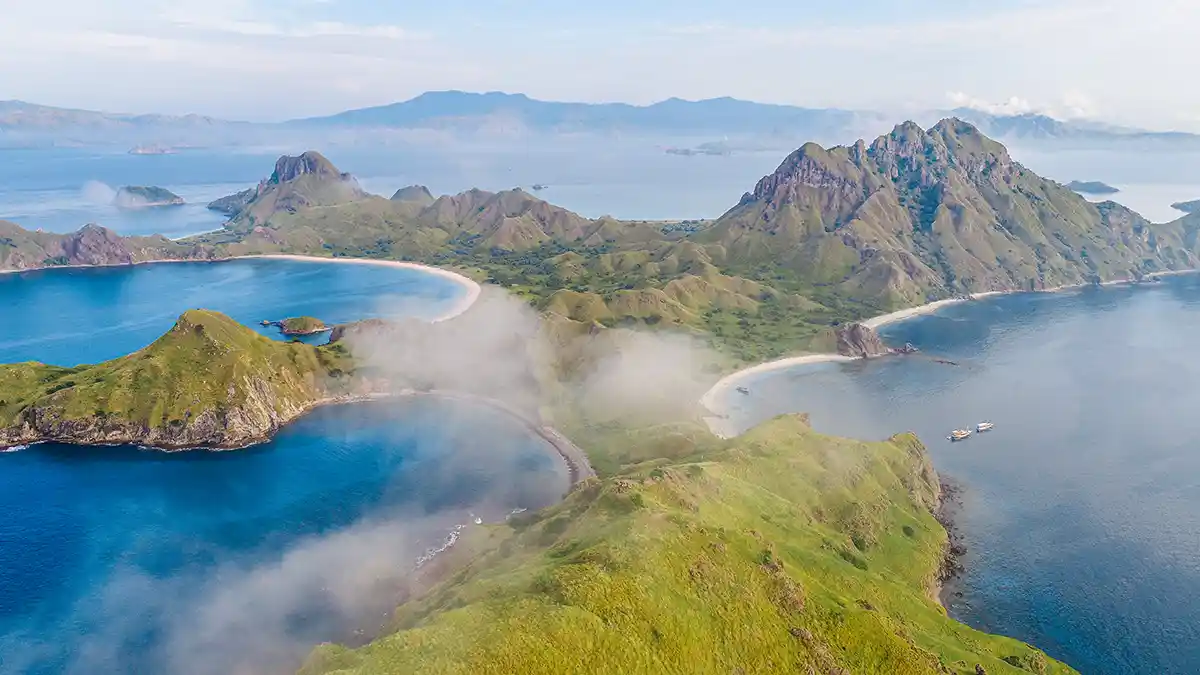
View of the lagoon and beach in one of Padar Island's bays
View of a calm lagoon and beach in one of Padar’s bays on a dry-season morning. Photo: Johnny Africa/Unsplash.

How does the season change what you should pack?

The core packing list (covered fully on our packing guide) doesn’t change dramatically by season, but the emphasis does. Dry-season trips lean harder on sun protection — reef-safe sunscreen, a hat, sunglasses — since cloud cover is less likely to offer any natural relief on the climb. Wet-season trips add a lightweight rain layer or dry bag for electronics, and non-slip footwear becomes more important given the trail’s natural rock sections can turn slick after rain. Either season, closed shoes beat sandals, and bringing more drinking water than feels necessary is rarely a mistake given the lack of shade and the total absence of any shop or refill point on the island itself.

Does the season affect underwater visibility for snorkeling stops paired with Padar?

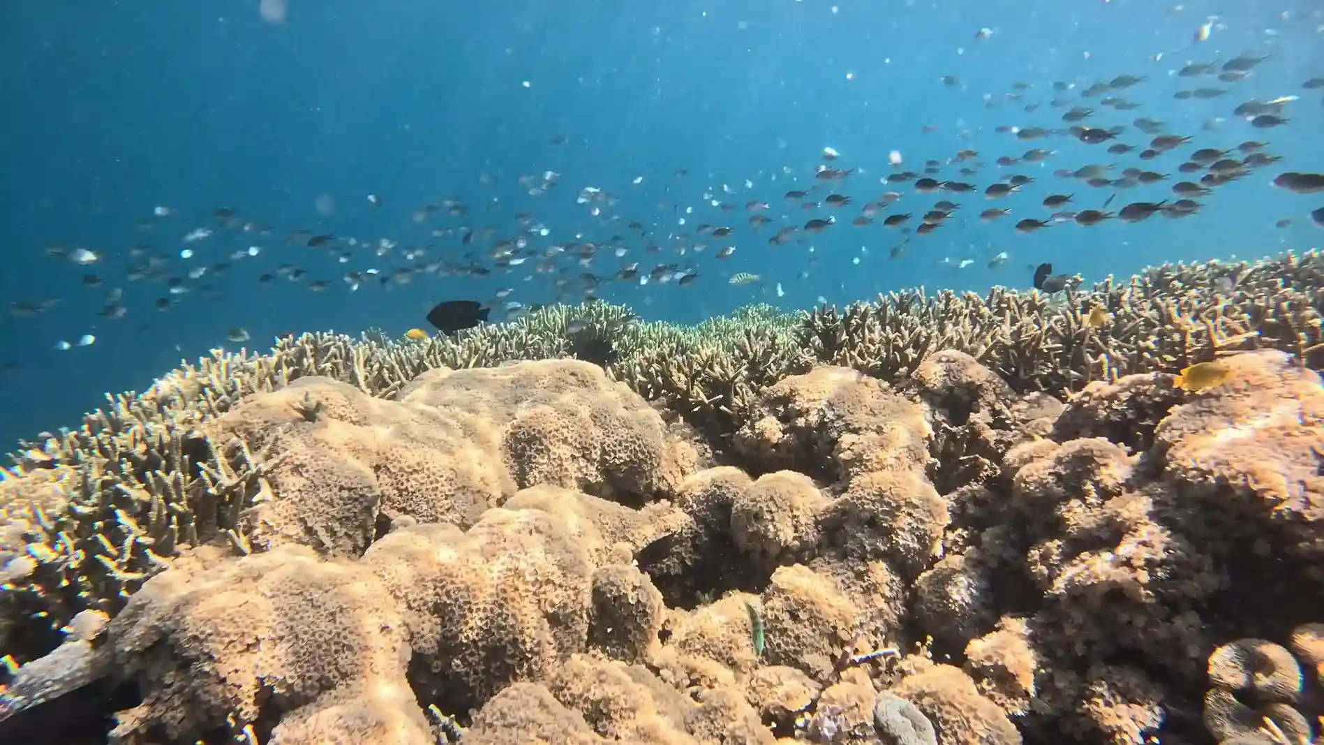
Generally yes. Calmer, drier-season seas tend to correlate with better underwater visibility at nearby snorkeling sites like Pink Beach and Manta Point, since less wind-driven wave action and runoff means clearer water. Wet-season rain can increase runoff and reduce visibility at some sites, particularly those closer to river mouths on nearby islands, though open-water sites further from land are less affected. If snorkeling quality is your main priority for a combined Padar-plus-snorkeling day, the same September–November and April–June shoulder-season window that suits the hike also tends to suit the water.

Is it better to visit Padar Island in the morning or afternoon regardless of season?

Morning, in essentially every season. Morning light is directionally better for photographs of the three-bay panorama, morning temperatures are cooler before the sun is directly overhead on the shadeless trail, and morning sailing conditions are, on average, calmer than afternoon conditions in this part of Indonesia — a pattern common across much of the tropics, where afternoon heating tends to build wind and cloud through the day.

What is the average temperature on Padar Island throughout the year?

Temperatures in Komodo National Park stay warm year-round, typical of a tropical climate, with humidity remaining high even when rainfall is low in the dry season. Because the hiking trail has almost no shade, the temperature you feel while climbing is often higher than the recorded air temperature.

Should I buy travel insurance that covers weather cancellations for a Padar Island trip?

It’s a reasonable precaution, particularly for wet-season bookings or multi-day liveaboard charters where a missed slot is harder to simply rebook the next day. Check whether your policy or your operator’s own terms cover a weather-related reschedule or refund before you rely on assumptions either way.

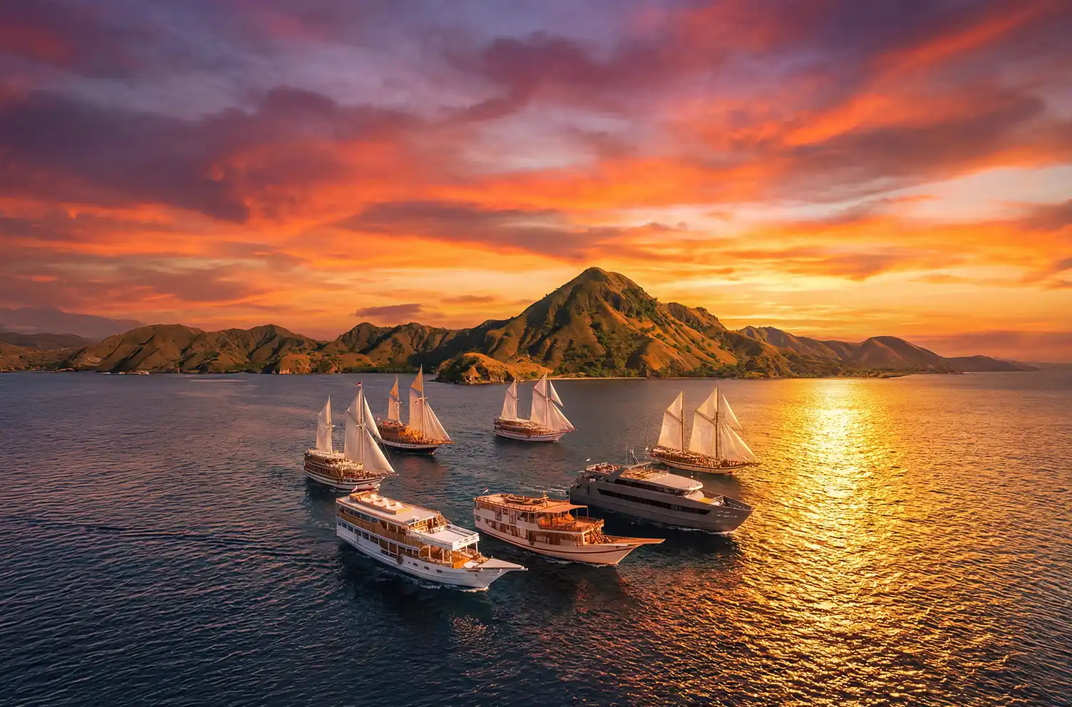
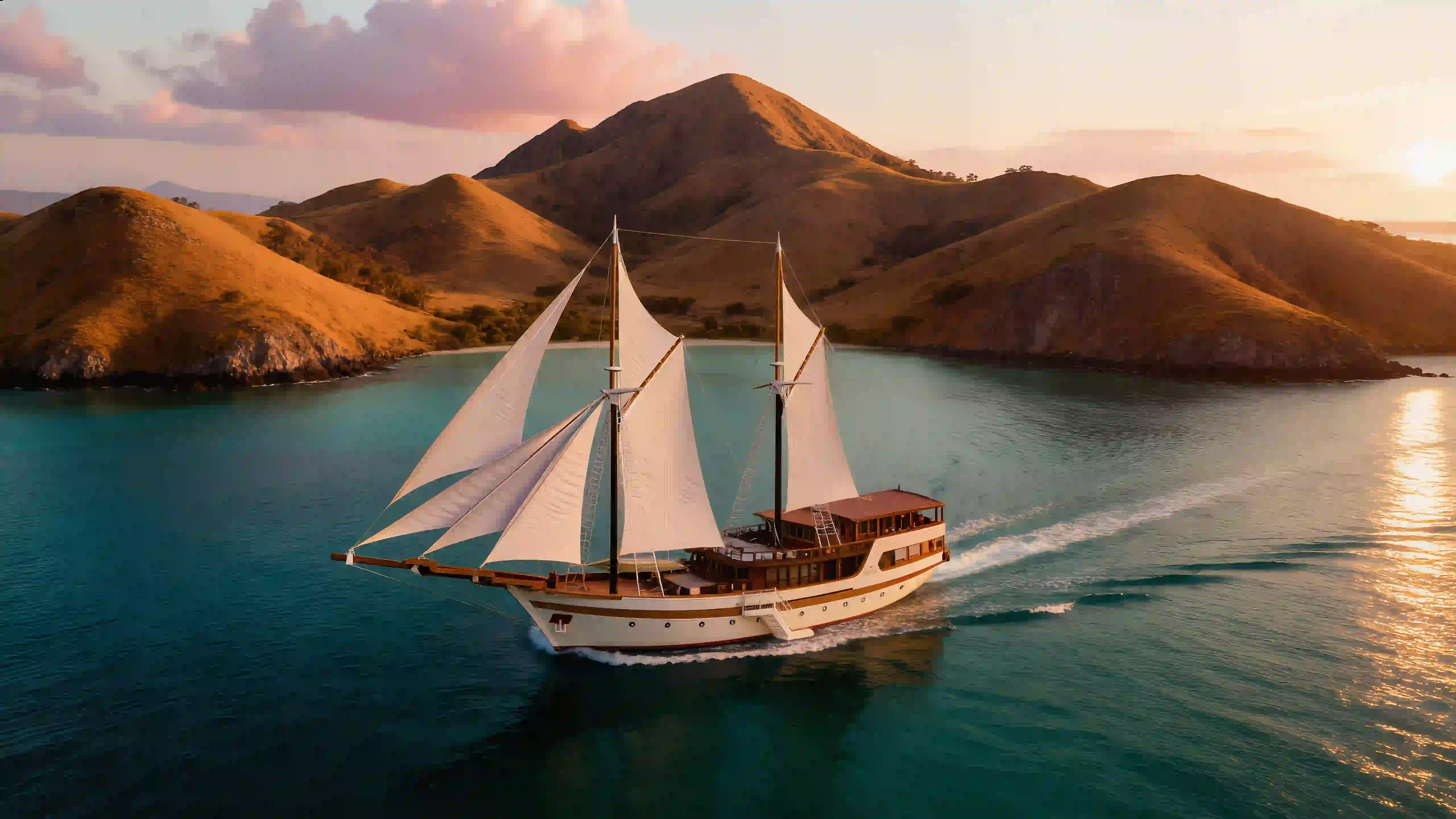
A traditional phinisi boat floating on calm water near Labuan Bajo
A traditional phinisi boat floating on calm water near Labuan Bajo, a common departure point toward Padar. Photo: akhmad ravaell/Unsplash.

Weather windows are booked, not waited for

padarisland.com researches conditions and publishes them. Charters sit with our affiliated operator, Komodo Luxury. You cannot choose the sea state, but you can choose a hull and a departure hour that handle it better. Boats suited to rougher mornings: the one-day Komodo sailing package, multi-day liveaboards, and Komodo sailing trips.

Wind matters more than rain

The main wind season peaks roughly July into August and tapers through early September, even though the dry conditions extend across far more months. During that peak, trade winds create whitecaps on the open stretches of the Flores Sea and strong gusts on the exposed ridgelines, and August in particular is among the windiest months of the year despite being reliably dry. Rain is uncommon then; the sea is simply restless from wind-generated chop.

What complicates it is the topography. Conditions around Padar are shaped less by open-ocean weather than by local winds funnelling between islands, and the channels and headlands mean you can pass through sheltered water into short choppy stretches within minutes. Mornings are generally smoother, with texture and whitecaps building through the afternoon, which is one more reason early sessions dominate the schedule. Larger phinisi-style boats absorb this better; speedboats give you more spray and sharper impacts.

Currents are a separate phenomenon and a more serious one. Tidal flow between the Indian and Pacific Oceans squeezes through the narrow channels of the park, producing strong, localised streams. Certain channels around Padar can be genuinely hazardous for inexperienced swimmers or divers away from the boat, which is why rangers and crews discourage unsupervised swimming. Some beaches and coves can also develop narrow seaward flows; most itineraries minimise open-water swimming here in any case, since the viewpoint is the point.

On the hike, wind is light near the jetty and the lower steps and becomes noticeable once you reach the exposed ridges. In the windiest months you may meet strong cross-gusts at the corners of the upper terraces. When wind is strong, protocols tighten in both places — captains reduce speed, pick more sheltered anchorages or shorten the time at exposed viewpoints, and rangers manage the ridge more actively. Consumer drones struggle badly in midday or peak-season gusts near the higher terraces where wind funnels along the ridgeline, which is a practical constraint on top of the rules already restricting unauthorised flight.

The months in practice

Calmer stretches for wind and waves fall inside the broader dry season but outside the July–August peak. May to June and September to early November are the windows that combine manageable seas with thinner crowds, which is why seniors and anyone nervous about boats tend to be steered toward them.

December brings hotter, more humid air with an increasing chance of showers and thunderstorms during the day, and crossings that swing from calm to lumpy as systems pass. Visibility drops when showers or low cloud settle around the neighbouring islands, and the trail can be damp enough that footing needs attention. March is transitional: showers are still frequent but breaks of sunshine appear between systems, sometimes producing genuinely dramatic skies over the bays, with uneven seas and squally patches interspersed with calmer runs. Sunrises are cloudier and the hiking more humid.

The wet months do produce flat seas on some days, but you cannot plan around it. The dry season is not a guarantee of calm water either — it is a guarantee of clearer skies and lower humidity, which is a different thing.

Jellyfish do not follow a predictable window here. Blooms appear at various times around the park, driven by current shifts or nutrient upwelling rather than by season, so treat any crew warning as current information rather than something you could have looked up.

Photography, forecasts and cancellations

For consistently clear skies and long views, the core dry months are the strongest. From roughly April to November you are more likely to get stable morning light and lower humidity, which keeps the haze down and the horizons sharp. The classic multi-bay frame is most reliably available then, and blue hour at either end of the day is particularly productive, with warm side-light modelling the ridges. Outside the heavy-rain periods the trail surface also cooperates.

There is no meteorological station on Padar. Forecasts come from regional models covering Labuan Bajo and the wider park, and local effects from the channels and headlands mean the actual conditions at the island can differ from the regional picture. Captains combine the forecast with conservative on-the-day judgement, and will change course or timing on observing unusual swell or a building squall even when the prediction said otherwise. That is the system working, not failing.

Trips can be cancelled or rerouted at short notice when wind, swell or visibility cross a safety threshold, with the decision resting with the captain in consultation with harbour authorities. Cancellation terms vary by operator: some offer date moves or partial credits rather than full refunds, depending on when and why the change was made. Settle those terms before you pay, and keep a spare day in Labuan Bajo so a cancellation costs you a morning rather than the trip.

This guide does not operate boats. Bookings are fulfilled by Komodo Luxury, and this site may earn a referral commission.

Scroll to Top
Book with Komodo Luxury →
💬

Additional photo credits on this page: Fajruddin Mudzakkir, Johnny Africa, Alex Lvrs, akhmad ravaell, Hatmi on Unsplash.